Secret Pittsburgh
Mt. Washington the Neighborhood
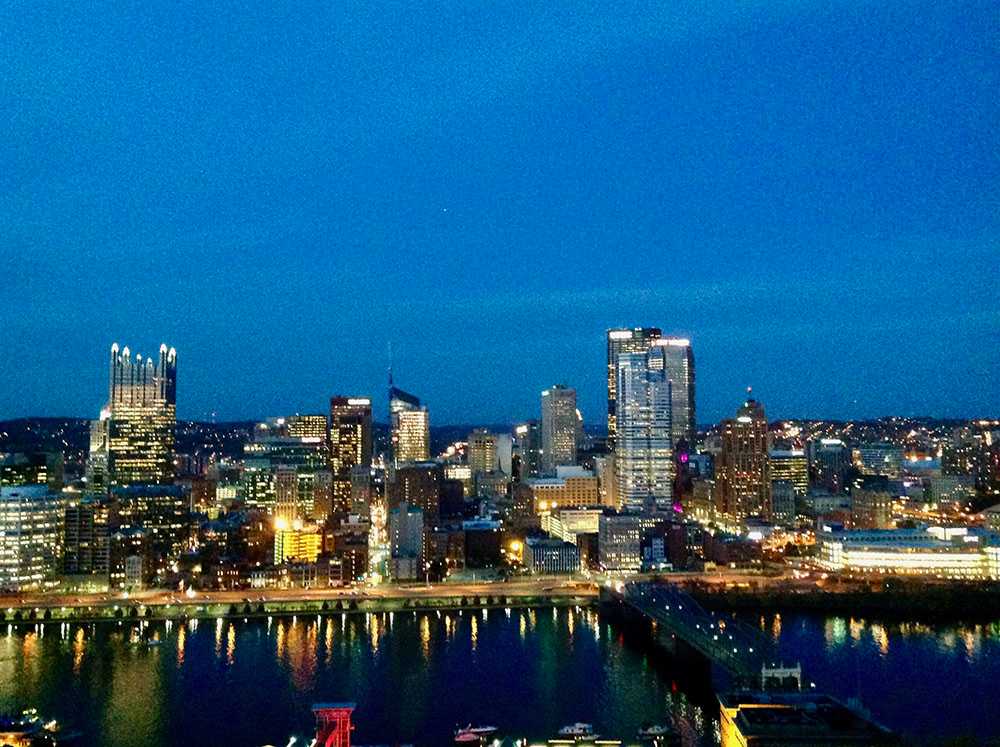
Every Pittsburgher knows Mt. Washington. It is home to one of the best views in America, an array of first-class restaurants, and some of the most expensive real estate in all the city. The Pennsylvania Department of Community Development describes the one-square-mile neighborhood as “a feast for the eyes and the tummy, too… a dog walker’s paradise… millionaires and just plain folk.” Each day, thousands of visitors scale the 450-foot hillside and arrive at Grandview Avenue to gaze over the railing at the skyline reflected in the Monongahela River. What they do not realize, though, is the tremendous transformation Mt. Washington underwent to become a tourist hotspot.
From the late 1700s until the early 1900s, Mt. Washington was known as Coal Hill, the main access point to the Pittsburgh Coal Seam: “the most valuable individual mineral deposit in the U.S.,” according to the Pennsylvania Historical and Museum Commission. As Pittsburgh industrialized in the late 1800s, Mt. Washington coal was the fuel for its growth. A surge of steelworkers and their families migrated to the neighborhood. In total, eight inclines were built to haul residents and freight to and from the steel and iron mills below, two of these inclines remain today: the Monongahela and Duquesne. By the end of the 19th century, the destructive steel and mining industries had “transformed the once-forested hillside into a barren, eroding wasteland. Property values plummeted and… Pittsburgh suffered as a result,” according to local historian Clint Burton.
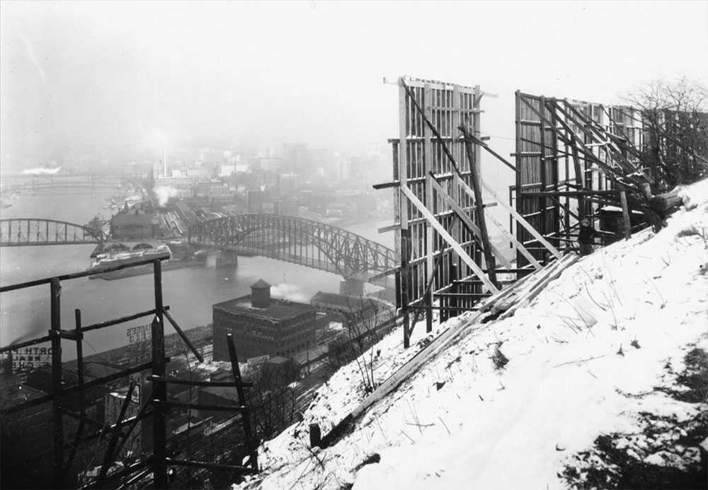
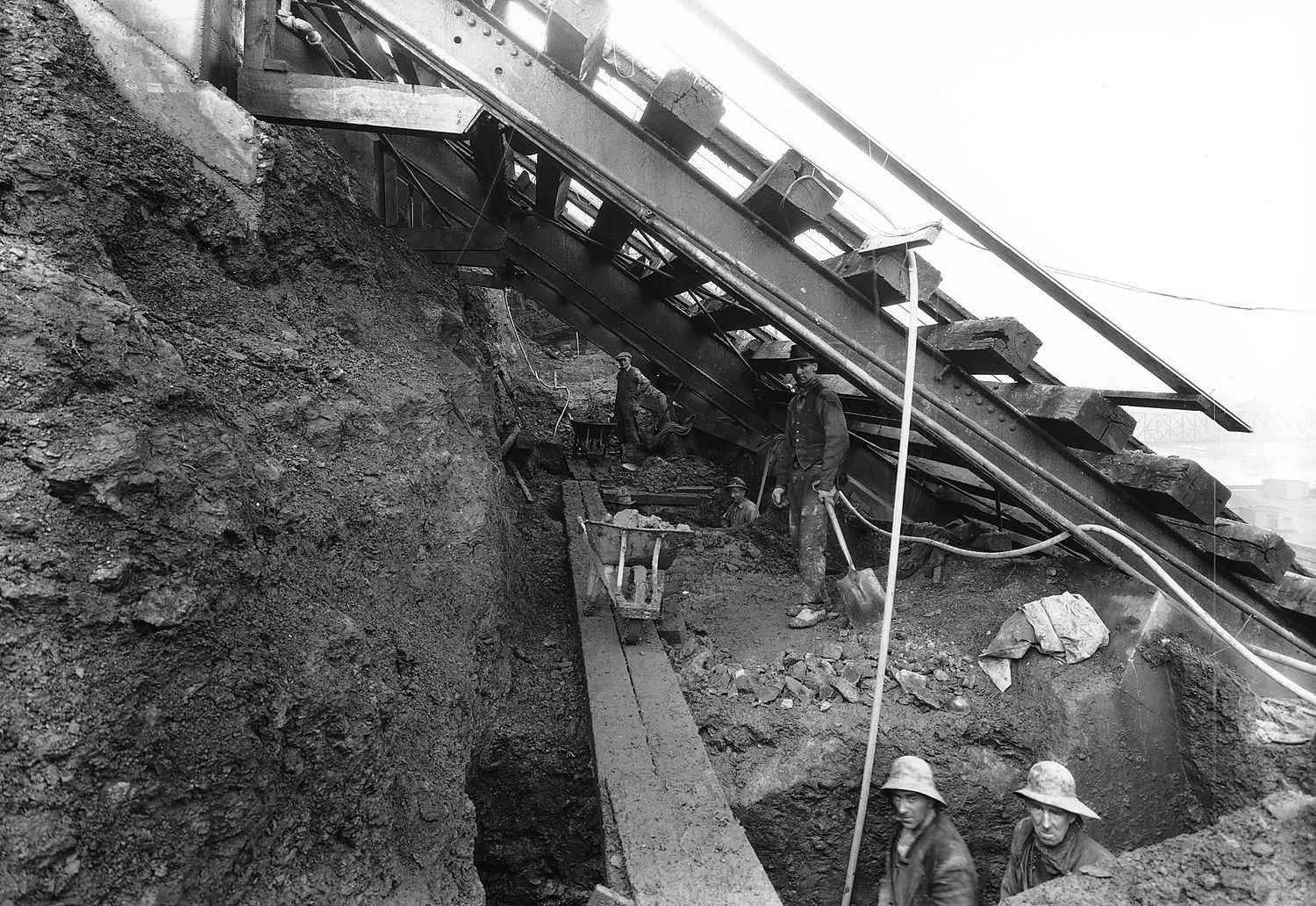
Mt. Washington underwent significant development in the 1900s. One of the first major projects, proposed by City Councilman Peter J. McArdle in 1912, was a “Mount Washington Roadway” that would allow automobiles to climb the hill’s northern face. When it opened in 1928, the Roadway was an engineering feat; one of the first urban roads in the country to hang off a cliff that experienced regular landslides. However, its construction forced working-class families out of their homes and increased property values. Today, the renamed McArdle Roadway connects the Liberty Bridge and South Side to Grandview Avenue as one of the city’s most-traveled arteries for residents and tourists.
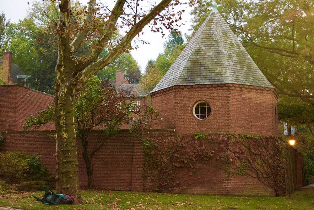
Chatham Village's red-brick homes were built in the Georgian Colonial Revival style. A patch of English architecture in the middle of a Pittsburgh residential neighborhood, the village resembles something straight out of a fairy tale. In addition to a model for advanced transportation, Mt. Washington became home for experimental housing. Nestled three blocks from Grandview lies the quiet 46-acre Chatham Village that resembles something from a postcard. American architects Clarence Stein and Henry Wright modeled the village in 1931 using city planner Ebenezer Howard’s British Garden City concept, featuring abundant green space, red-brick architecture, and winding pedestrian walkways. It was originally built to provide Mt. Washington’s blue-collar residents with low-cost, high-quality housing. Today, it houses middle to upper-class residents and appears very distinct from the surrounding neighborhood and the rest of Pittsburgh.
When exploring Mt. Washington, it is easy to get lost in the skyline. However, looking closer at the hillside and the neighborhood behind Grandview Avenue reveals a fuller view of Pittsburgh’s long and turbulent transition from Steel City to “Most Livable City.”


